Menu
Historical Atlas
Description
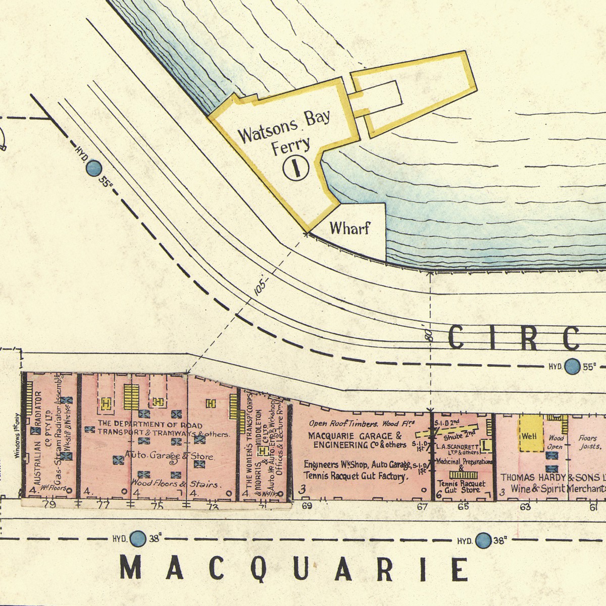
The Historical Atlas of Sydney provides access to the key maps and map series held by the City of Sydney Archives.
The maps range from the 19th and 20th centuries and were produced variously by Council itself, other government authorities or private surveying firms and individuals. The Historical Atlas also provides background to Council’s evolving boundaries from 1842 until today.
New content from the City Archives will be added over time.